BIM Services
Scan to BIM
Point Cloud to Accurate Revit Models for Renovation and Heritage
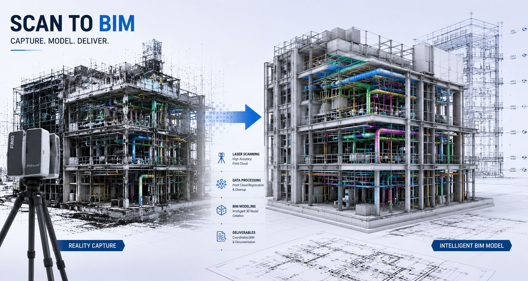
Our Scan to BIM service converts point cloud data from 3D laser scans or photogrammetry surveys into accurate, dimensionally faithful Revit models. Whether you are planning a renovation, assessing an existing structure, or creating a digital twin, our process delivers as-is BIM models that reflect the real-world geometry of your building at the required level of accuracy.
What We Deliver
Scan to BIM Services
Point Cloud Processing & Registration
Raw scan data cleaned, registered, and prepared for BIM modeling. Compatible with Faro, Leica, and Matterport outputs.
Architectural Scan to BIM
Existing walls, ceilings, floors, windows, doors, and structural elements modeled from point cloud to required LOD.
Structural Scan to BIM
Existing structural frames, slabs, foundations, and connections captured and modeled for structural assessment.
MEP Scan to BIM
Existing mechanical, electrical, and plumbing services captured from point cloud for clash checking against proposed works.
Heritage & Conservation BIM
Detailed BIM models for listed buildings and heritage structures with millimeter-level accuracy for conservation planning.
Digital Twin Creation
Fully attributed as-built Revit models with COBie data for facility management and ongoing operations.
Why Suncon BIM
Your Trusted BIM Partner
Millimetre Accuracy
Models faithful to the real-world geometry of your building
All Scan Formats
Compatible with Faro, Leica, Matterport, and NavVis outputs
Heritage Specialists
Experienced in conservation and listed building documentation
Fast Turnaround
Models delivered in 2–4 weeks depending on building size
How We Work
Our Delivery Process
01
Brief & Scoping
Share your drawings, point cloud, or specifications. We review scope, confirm LOD, and agree timelines in a BIM Execution Plan.
02
Modeling & Coordination
Our BIM team builds the model in Revit, running coordination checks against all disciplines at each milestone.
03
QA & Review
Every deliverable goes through our ISO-certified QA process. You review and provide feedback via shared cloud environment.
04
Delivery & Support
Final files issued in agreed formats (RVT, IFC, DWG, PDF). We provide post-delivery support during the construction phase.
FAQ
Frequently Asked Questions
What is Scan to BIM?
+−
Scan to BIM is the process of converting point cloud data — captured by a 3D laser scanner or photogrammetry system — into an accurate Revit BIM model. The resulting model reflects the actual as-is geometry of the existing building, not just the design intent.
What point cloud formats do you accept?
+−
We accept data from all major laser scanners including Faro Focus, Leica BLK, Matterport, NavVis, and Trimble. Common file formats include .RCS, .RCP, .E57, .LAS, .LAZ, and .PTS.
What LOD can you model Scan to BIM?
+−
We typically deliver Scan to BIM at LOD 200 (approximate geometry for spatial planning) through LOD 400 (dimensional accuracy for renovation detailing). The appropriate LOD depends on the project brief and required downstream use.
How accurate are your Scan to BIM models?
+−
Accuracy depends on the quality of the scan data and the agreed LOD. For most renovation projects we achieve ±5–10mm positional accuracy. For heritage and conservation projects we can work to tighter tolerances with premium scan data.
Can you process scans we have already captured?
+−
Yes. If you have existing point cloud data from a scan you have already commissioned, we can process it directly into a Revit model without requiring a new survey.